UBOS Marks GIS Day as Experts Highlight Power of Spatial Data in National Development

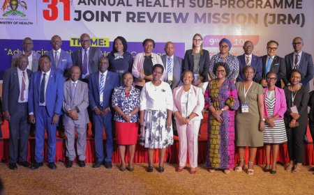
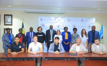
The Uganda Bureau of Statistics (UBOS) has joined the rest of the world in celebrating the Geo-spatial Information System (GIS) Day, recognising the expanding role of GIS technology in modern data collection, urban management, climate financing and public service delivery.
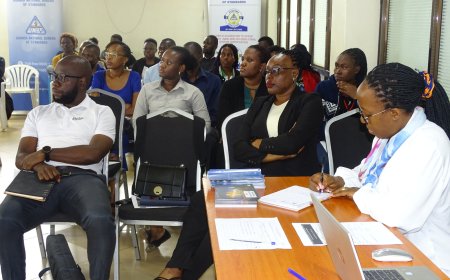
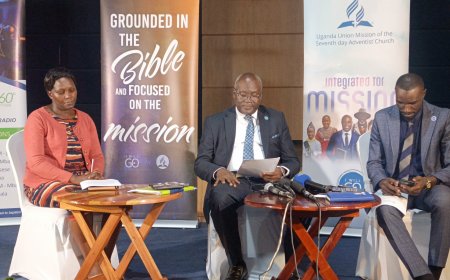
During the event, Wednesday, various experts underscored how digital mapping systems have simplified data gathering and improved accuracy in national planning. Mr Derrick Rukundo from the Ministry of Water and Environment explained that spatial data has become central to global climate financing.
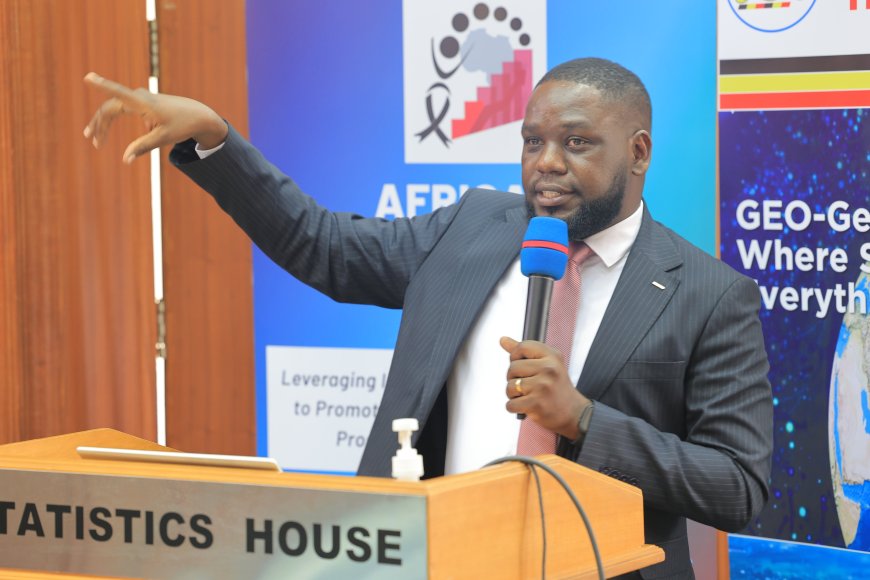
He noted that in contemporary climate funding frameworks, every tonne of water or environmental claim must be linked to a specific geo-location, adding that no country can access climate finance without presenting spatial evidence.
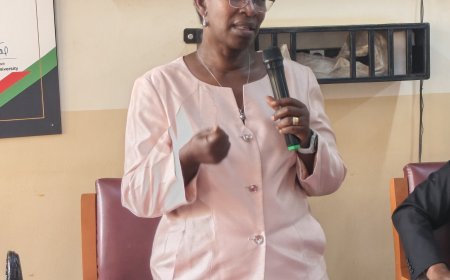
Flavia Zabali Musisi, Head of the GIS Department at Kampala Capital City Authority (KCCA), shared her experience and the transformation GIS has brought to city management over the last thirteen years. She described the present moment as the “Geo-Generalist Era”, where spatial knowledge is no longer confined to mapping technicians but is now essential across all government departments.
She explained that Kampala’s rapid growth has required precise, location-based solutions. One major reform included building a comprehensive property database with coordinates assigned to every building. This system, combined with satellite imagery and zoning information, enabled KCCA to streamline property rate assessments.
As a result, collections increased from 17 billion shillings in 2017 to 64 billion shillings eight years later without raising tax rates, demonstrating that transparency and accurate geo-referencing can unlock previously untapped revenue.
Musisi also highlighted how GIS became a life-saving tool during the COVID-19 outbreak. At the height of the pandemic, the KCCA GIS team developed the first real-time dashboard for Kampala, mapping every confirmed case, quarantine center, testing point and ambulance route. The dashboard was later adopted at national level and helped guide emergency responses during the lockdown.
In mobility planning, GIS helped KCCA map accident hotspots, pedestrian activity, schools, hospitals and market areas. This information guided the design of the Non Motorized Transport Corridor and the ongoing construction of more than fifty kilometres of walkways and cycling lanes.
The authority also mapped all boda-boda stages and is in the process of issuing digital permits tied to exact locations as part of efforts to promote organised transport within the city.
Environmental protection has also benefited from spatial data. KCCA has mapped all wetlands, identified the canopy cover of over 190,000 urban trees, and documented urban farmers who have since been linked to markets. GIS has also been used to map schools, health centres, tourist sites and garbage truck routes, making waste collection more efficient and reducing fuel usage.
Musisi emphasized that KCCA’s GIS unit no longer functions as an isolated technical department but as a nerve centre serving ten different directorates including education, health, engineering, environment, treasury services and physical planning.
She noted that over 90 percent of government data has a location component and that ignoring the “where” means missing most of the story behind service delivery.
She reaffirmed that GIS enhances evidence-based planning, strengthens accountability, speeds up emergency responses to fires, floods and epidemics, optimises revenue collection, promotes inclusive development and improves climate resilience.
It also encourages collaboration across government agencies since spatial information provides a shared language for decision making.
The GIS Day celebration reaffirmed the commitment of UBOS and its partners to advancing spatial data use across government.
As Uganda continues to modernise its systems and strengthen climate and development planning, GIS remains one of the most powerful tools shaping the country's future.
